Little Hilbre
Middle Eye
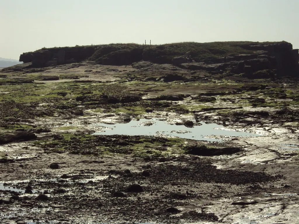
Middle Eye, the transitional island between Little Eye and Hilbre: sandstone formations, plants, history and a channel that fills rapidly.
Geology
Middle Eye is part of the Hilbre Islands exposure of Triassic Helsby Sandstone Formation within the Sherwood Sandstone Group. Coastal weathering and tidal erosion continue to shape the exposed sandstone. Wirral Council’s plan describes the cause: waves undercut soft seams on the west side until the cliff falls, while fresh water draining through the rock to the east, and frost in severe winters, add to the erosion. The islands have shrunk considerably over the last 2,000 years, according to the council’s plan.
The island and its plants
The Conservation Plan gives Middle Eye as about 5.5 acres at mean high water, with a grassy plateau of about 2.5 acres. The soil varies from well-drained sandy loam to wetter, peatier ground, with a pH between 4.0 and 8.4. The council says this variation helps explain the diversity of plants on such a small island. On the western side, grassland and heath give way to cliff-top plants such as thrift and buck’s-horn plantain. Walkers heading for Hilbre often rest on the plateau. Stay on the paths and steps, which are managed to limit erosion.
History
A Late Bronze Age urn, an axe, arrowheads and worked flints have been found on Middle Eye and Little Eye, along with shell middens that suggest use by Mesolithic hunter-gatherers. Iron railings and gates were put up around Hilbre and Middle Eye in 1912, after 2,000 visitors arrived on August Bank Holiday 1911, and a Dock Board policeman enforced the rules on Sundays and bank holidays. In 1893 a pier from West Kirby to Middle Eye was proposed, but the Dock Board did not approve it. During the Second World War fire baskets and lights were placed on Middle Eye as a decoy, run by the RAF from a control room on Hilbre, to draw bombers away from Liverpool’s docks.
Wildlife
Little Eye and Middle Eye are roost sites for internationally important numbers of wading birds that spend the winter in the Dee Estuary. The commonest are knot, dunlin, redshank, turnstone, sanderling and oystercatcher. The islands matter most on high spring tides and in storms, when other roosts on the beach and saltmarsh are covered and the rock can be carpeted with waders. The council warns that disturbing roosting birds drains their energy and reduces their chance of surviving the winter. Keep dogs on a short lead and give birds space.
Route context
On the recognised route from Dee Lane you pass Little Eye and then keep Middle Eye on your left. Between Middle Eye and Hilbre the council describes a rough track over the rocks towards the south end of Hilbre, or steps that cross Middle Eye itself. Do not cross direct to Hilbre or Middle Eye, and never set out from Hoylake or Red Rocks, because there are deep tidal channels on the east side of Hilbre and Middle Eye.
Safety note
The channel between Middle Eye and Hilbre fills rapidly, and Middle Eye and Little Eye are cut off before Hilbre, so neither is somewhere to wait for the tide. Stay within the calculated crossing window and start back by the calculated leave-by time. WalkHilbre applies the RNLI advice cautiously, as the latest time to be back on the mainland: at least 3.5 hours before the next high tide. Follow the Dee Lane noticeboard.
Related island guides
Visitor guides
Sources
Visitor information checked 20 October 2026.
- RNLI: Staying safe at West Kirby Beach and Hilbre Islands
- Wirral Council: Hilbre Islands Local Nature Reserve visitor information
- British Geological Survey: Triassic bedrock geology at Hilbre Island
- Wirral Council: Hilbre Islands Local Nature Reserve Management Plan 2024–2029
- Wirral Council: Hilbre Islands Local Nature Reserve Green Heritage Site Conservation Plan (checked 20 October 2026)