Hilbre Island route map: Dee Lane to Hilbre via Little Eye and Middle Eye
The recognised route to Hilbre Island starts at Dee Lane slipway in West Kirby, passes Little Eye, then Middle Eye, and ends at Hilbre. Along the drawn line that is about 3.1 km (2.0 miles) each way, in line with the walking guide’s “about 2 miles” and 45 to 60 minutes each way.
This map is indicative and not for navigation. An estimate — not permission to cross. Check the Dee Lane noticeboard before setting out.
Checked 20 October 2026
Route map



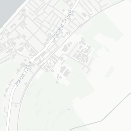



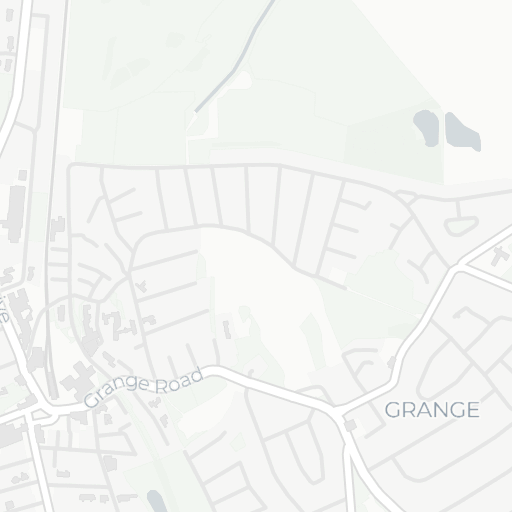
















Indicative route
© OpenStreetMap contributors, © CARTO
Indicative route only — not for navigation. Keep to the recognised line; never approach from Red Rocks, Hoylake or Caldy.
Map data © OpenStreetMap contributors; basemap © CARTO. Route drawn from WalkHilbre's recognised-route trace; not a survey.
See the predicted tide on the interactive mapWaypoints and distances
The numbers match the markers on the map. Distances are measured along the drawn route and rounded to 0.1 km and 0.1 mile, so they are approximate and a total can differ from the sum of its rounded legs by 0.1.
Dee Lane slipway
The recognised start, beside West Kirby Marine Lake. Read the Dee Lane noticeboard before you set out.
Start · 0 km
Little Eye
The first island on the route. Keep to the recognised line across the sands rather than taking a shoreline shortcut.
Leg 1: about 1.2 km (0.7 miles) from Dee Lane slipway · Total: about 1.2 km (0.7 miles)
Middle Eye
The second island, also known as Little Hilbre. The channel between the Eyes is where the RNLI has reported people cut off.
Leg 2: about 1.3 km (0.8 miles) from Little Eye · Total: about 2.4 km (1.5 miles)
Hilbre Island
The main island and the end of the route, in the Hilbre Islands Local Nature Reserve. Start back by the calculated leave-by time.
Leg 3: about 0.7 km (0.4 miles) from Middle Eye · Total: about 3.1 km (2.0 miles)
Dee Lane to Hilbre along the drawn route: about 3.1 km (2.0 miles). The drawn line continues a little further, to 3.3 km in all, as it passes Hilbre. Most walkers take 45 to 60 minutes each way. Allow longer for wet sand, pools and rocks.
What to watch for along the way
These hazards come from the safety guide and the RNLI and Wirral Council advice it cites.
- Do not head straight for Hilbre from the slipway. Keep to the recognised line via Little Eye and Middle Eye, and do not take shortcuts. Water fills channels behind walkers before it reaches the visible route.
- Gutters and channels fill first. The low channels between the islands hold water longest and fill first as the tide returns, so the route can close while the sand ahead still looks dry. How tides work on Hilbre.
- The tide comes in around the islands. The West Kirby RNLI says the tide loops around the islands and advances quicker than expected. RNLI reports include people and dogs cut off between Little Eye and Middle Eye. What to do if you are cut off by the tide.
- Mud and wet sand. The walk is over wet sand and rocks, and mud can be slippery. Sharp objects can be hidden in the sand. Never start from Hoylake, Red Rocks or Caldy: a deep muddy channel blocks the crossing there, and Dee Lane is the recommended starting point.
- Rocks slippery with weed. Rocks and seaweed can be slippery. Wirral Council advises against walking barefoot, so wear sturdy footwear that can get wet. What to bring.
- Darkness and fog. The RNLI advises against walking to the islands in the dark or in fog. Wirral Council advises leaving the islands before light fades, with 8pm as the latest time on the islands. Weather, surge and fog.
About this map
The route is indicative and not for navigation. It is a drawn trace of the recognised route, not a survey, and it cannot show where the water is. WalkHilbre’s times are calculated estimates, not permission to cross: check today’s calculated window, then follow the Dee Lane noticeboard. An estimate — not permission to cross. Check the Dee Lane noticeboard before setting out.
If anyone is in danger, call 999 or 112 and ask for the Coastguard.
Sources
Checked 20 October 2026. WalkHilbre is independent and does not replace the Dee Lane noticeboard, Wirral Council, Friends of Hilbre or RNLI advice. Facilities, prices and rules can change.
- Wirral Council: Hilbre Islands Local Nature Reserve (opens in a new tab)
- Wirral Council: Hilbre Islands Local Nature Reserve Management Plan 2024–2029 (opens in a new tab)
- Friends of Hilbre: Visitor information, open days and crossing guidance (opens in a new tab)
- RNLI: Staying safe at West Kirby Beach and Hilbre Islands (opens in a new tab)